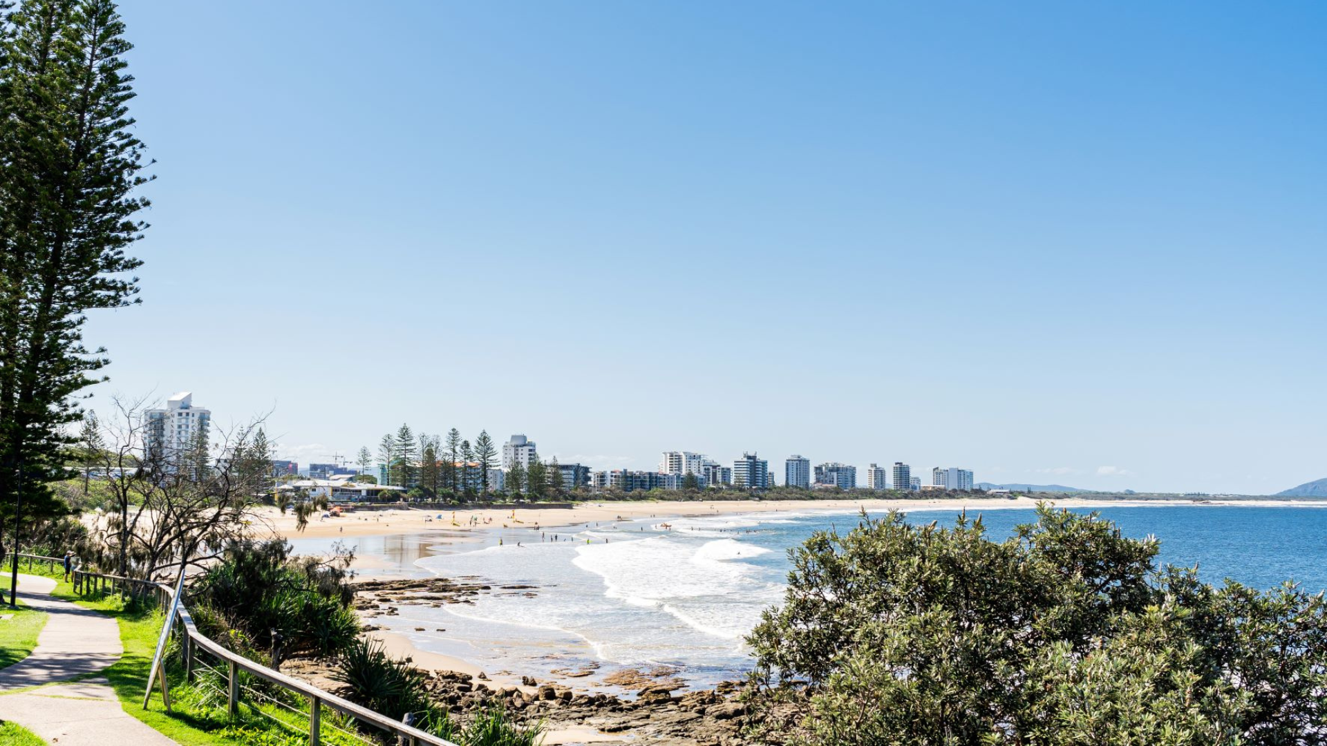
Maroochydore sand renourishment
Council will use sand from the Maroochy River to widen and restore the beach to provide protection from future storms.
Sand is pumped onto the beach to replenish it before the summer storm season.
We do this about every 2 years to widen the beach and keep the erosion buffer between the waves and the dunes, roads, paths and buildings.
Project scope
Maroochydore beach is prone to natural erosion events. We take sand from the Maroochy River to widen and restore it.
This project has been protecting the well-loved location since it begin in 2013; areas like the foreshore between Alexandra Headlands and Cotton Tree, and the important community infrastructure like the surf lifesaving towers, viewing decks, car parks, roads, park and playgrounds.
It supports events, such as the Australian Surf Life Saving championships, which help to give our region a boost. And helps to keep the beach in good condition for us all to enjoy.
View the approved development permit for Maroochydore beaches and river dredging and beach nourishment.
Project update
The next campaign will take place from June until September 2024.
A small cutter suction dredge will pump 50000 cubic metres of sand from the lower Maroochy River to Maroochydore beach (between Beach Access 150 and Beach Access 141).
It uses an existing pipeline that has been in place since 2013.
A booster pump help push sand up the entire length of the beach.
To minimise noise impacts, the pump is in an insulated storage container in the south east corner of the car park at the end of Cotton Tree Parade and Memorial Avenue and operated between 7am and 6pm week days.
- dredge safety fact sheet (DOCX, 5.49MB).
Background
The Sunshine Coast has approximately 60kms of coastline, stretching from Caloundra to Peregian Beach. Our beaches are vulnerable to erosion during storms, swells and weather events.
Council's shoreline erosion management plan (SEMP), adopted in 2014, guides our foreshore management. It outlines preferred management options that are underpinned by sound science, coastal engineering principles and our community values.
Guided by this plan, about every 2 years, council replenishes the sand on Maroochydore beach to improve beach amenity and provide long-term protection of the foreshore and important community assets such as roads, park and playgrounds.
Dredging and sand distribution has been completed for 2013, 2015, 2017 and 2019, 2010, 2021 supported by revegetation works to help strengthen the dunes.
Additional sand will be placed on Maroochydore beach as part of the ongoing stages of this project.
The pattern of shoreline erosion on Maroochydore beach is typical of most sandy beaches in South East Queensland:
- major beach erosion occurs when storms produce extreme sea levels and waves. This is more likely to occur during the summer months and the cyclone season
- sand eroded from the beach during a storm is stored offshore and much of this sand slowly moves back onshore during calmer conditions, typically during the winter months
- some of the eroded sand will leave the beach compartment completely, this is called net sediment transport, and along Maroochydore beach this occurs to the north
- recovery from severe erosion can take many years and sometimes relies on extended periods of relatively calm conditions.
Beach protection
There are important public buildings, road, paths, and parks at risk without sufficient sand on Maroochydore Beach. These include:
- Aerodrome Road/Alexandra Parade (State controlled road)
- Alexandra Headland Surf Life Saving Club, the parks around it and the skate park (currently protected by a decaying sea wall)
- Sea Breeze Caravan Park
- Maroochydore Surf Club
- public space including pedestrian and cycle pathways
- beach access locations.
Maroochydore beach needs to be around 50 metres wide to protect these areas during an extreme storm. Before this dredging and nourishment program, some areas of Maroochydore beach have eroded to less than 20 metres.
Maroochydore Beach survey March 2023
View the:
- project evaluation (PDF, 5MB)
- monitoring survey map (PDF, 2.9MB).
Contacts
For more information, please contact council.
Subpages
View our frequently asked questions (FAQs).

