Rehabilitation of the Maroochy River confluence
Find out how the project rehabilitated approximately 13 hectares of riparian areas and ex-cane land.
Article by Peter Armstrong, catchment management officer, Sunshine Coast Council.
Imagine sitting in a canoe, gently gliding along the water and listening to bird calls while being quietly watched by a black-necked stork perched majestically in its huge platform nest, far above in a large tree growing by the water’s edge. No, you are not in Kakadu, you are on the Maroochy River, just downstream of the Bruce Highway near Yandina! This is the vision of the Maroochy River rehabilitation project.
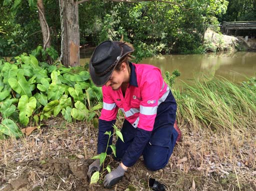
This project rehabilitated approximately 13 hectares of riparian areas and ex-cane land. A 5 kilometre span of the South and North Maroochy Rivers. The areas treated included several council managed esplanade areas and 2 private properties. 10 landholders were involved in the project. They assisted us by providing access to the esplanades and by changing land management practices. For example, ceasing to slash and excluding stock from the works areas. The areas shown in blue in the adjacent map.
Some native vegetation such as Lomandra and grand old eucalypts still cling onto the banks of the Maroochy River in this area. Significant amounts of weeds were also present with the usual suspects on the list - camphor laurel, privet and lantana to name a few. Large areas of pasture grass provided a blank canvas on which to establish 11,000 tube stock. The landscape was recreated resembling the regional ecosystems present before the land was cleared for farming. Since the start of this project we have witnessed a far healthier biodiversity corridor develop. It provides links to the Coulson Wharf and Mount Ninderry bushland conservation reserves and beyond.
This project was funded by the environment levy, between 2015 and 2019.

